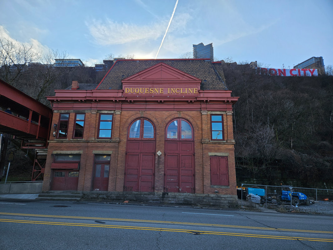
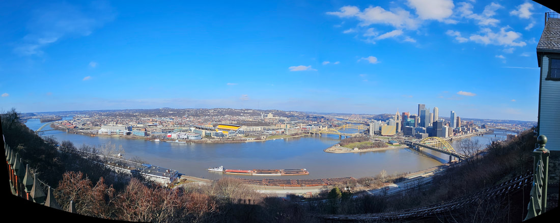
The Duquesne Incline
The Duquesne Incline is one of those which follows very closely the tracks of an early coal hoist. Old newspapers indicate the existence of such a conveyance as early as 1854. Residents apparently referred to it as "Kirk Lewis' incline" and located it on the present site of The Duquesne Incline's Upper Station. Grandview Avenue was then the High Street, and the area was just beginning to be converted from farmland to homesites. This pleasantly-situated acreage was an excellent area to absorb some of the expanding population of the city, but the problem of easy access was still to be solved.
At the time of its public opening, it was one of four inclined planes serving the summit of Coal Hill, which later came to be known as Mount Washington. The Duquesne Incline was operated, from 1877 until 1962 by The Duquesne Inclined Plane Company. From 1964 until the present, the Incline has been operated by the Society for the Preservation of The Duquesne Heights Incline; it has been owned by the Port Authority of Allegheny County.
Facts
Opened to Public: May 20, 1877
Cost to Build: $47,000
Length of Track: 794 feet
Elevation: 400 feet
Grade: 30.5 degrees
Speed: 6 miles per hour
Passenger: Capacity 18 per car

